
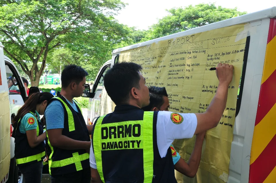
Effective disaster response begins with understanding what is happening at the community level. For local government units (LGUs), accurate barangay-level information can make the difference between a broad response and one that addresses the specific needs of affected communities.
When a crisis strikes, knowing that a municipality is affected is only the beginning. Decision-makers also need to understand which barangays are impacted, which areas are most vulnerable, what facilities remain accessible, and where immediate assistance is needed. Without this level of detail, response efforts risk overlooking isolated communities, overlooking critical infrastructure, or directing resources where they are not urgently needed.
The scale of local governance in the Philippines makes this especially important. According to the Philippine Statistics Authority (PSA), the country had 42,011 barangays as of September 30, 2025, each with distinct geographic conditions, populations, infrastructure, and community needs. This underscores the importance of maintaining localized information that allows LGUs to understand conditions beyond municipal or city-wide reports.
The need is further highlighted by disaster figures. Based on situational reports compiled by the PSA, medium-scale natural hazard events in 2025 affected approximately 7.73 million families, or 28.15 million individuals. These figures demonstrate the extensive reach of natural hazards and the importance of having reliable information to support decisions on preparedness, response, and resource allocation.
Turning Local Information into Operational Intelligence
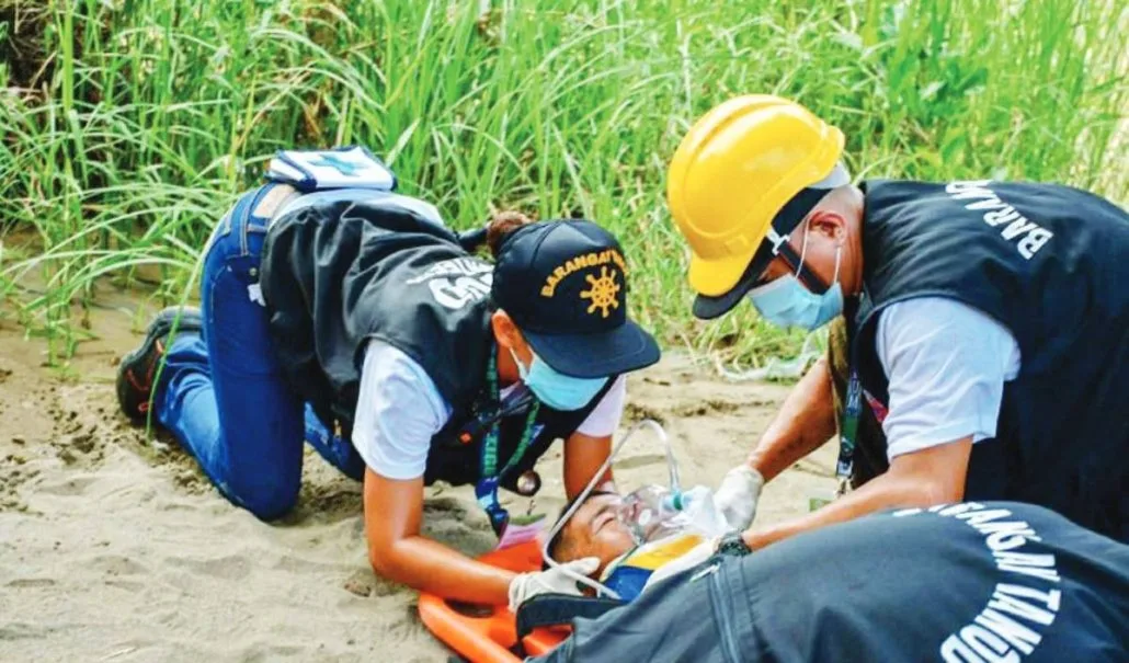
At the barangay level, seemingly small details can have significant operational value. Geographic boundaries help establish the extent of affected areas, while mapped facilities identify available evacuation centers, health facilities, water sources, access roads, and other essential infrastructure.
Equally important is identifying vulnerable locations and populations that may require additional assistance, including flood-prone communities, landslide-susceptible areas, isolated settlements, and households with limited mobility. Having these details readily available helps responders anticipate potential challenges and prioritize interventions based on actual community conditions.
However, static information alone is not enough. During emergencies, conditions can change within hours. Roads may become impassable, facilities may sustain damage, evacuation centers may reach capacity, and new areas may require immediate attention. This is where verified field updates become essential.
Reports from barangay officials, local responders, and other authorized personnel help provide a more current picture of developments on the ground. When consolidated with existing geographic and infrastructure data, these updates can help LGUs validate reports, monitor changing conditions, identify response gaps, and coordinate resources more effectively.
Strengthening the Local Government Response
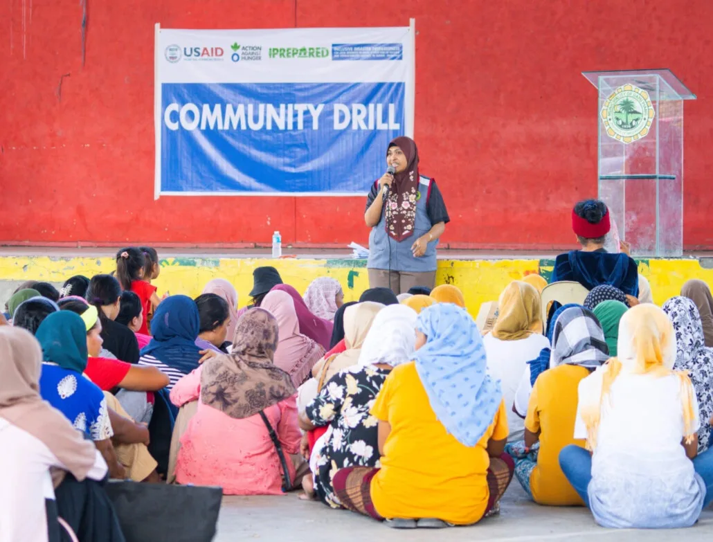
The importance of barangay-level disaster information is also reflected in Philippine policy. Under Republic Act No. 10121, or the Philippine Disaster Risk Reduction and Management Act of 2010, every barangay is required to have a Barangay Disaster Risk Reduction and Management Committee (BDRRMC). The law also assigns local disaster risk reduction offices and committees responsibilities that include maintaining local risk maps, monitoring hazards, operating early warning systems, and maintaining information on critical infrastructure, including hospitals and evacuation centers.
The law further establishes a localized approach to emergency response: when a disaster affects a barangay, the Barangay Development Council takes the lead, while higher levels of government provide support as the scale of the emergency expands. This reinforces the importance of connecting community-level information with municipal, city, and provincial response operations.
For LGUs, the challenge is not simply gathering information but ensuring that relevant data is organized, accessible, updated, and useful for decision-making. Disconnected reports and fragmented records can make it difficult to establish a common operational picture, particularly when multiple offices and response teams need to work together.
How CrisisOps Supports Localized Decision-Making
Through its local-government operational structure, CrisisOps supports a more connected approach to disaster preparedness and response by emphasizing the importance of localized information and operational visibility.
By organizing relevant information about barangay boundaries, facilities, critical assets, vulnerable locations, and field developments, CrisisOps helps LGUs build a clearer understanding of their operational environment. This provides decision-makers with a more structured basis for assessing situations, identifying priorities, and coordinating response activities across different communities.
The value of this approach extends beyond the immediate response to an emergency. Reliable barangay-level information can also support preparedness planning, risk assessment, resource pre-positioning, infrastructure monitoring, and post-disaster evaluation. Maintaining an updated local information base allows LGUs to identify gaps before emergencies occur rather than relying entirely on information gathered after a disaster strikes.
Ultimately, effective crisis management requires more than knowing that an emergency is happening. It requires understanding where it is happening, who is affected, what resources are available, and what actions need to be taken.
With CrisisOps, local information becomes a stronger foundation for operational intelligence—helping LGUs move from fragmented situational reports toward more informed, coordinated, and targeted community response.
Topics
Share this story
About CrisisOps
CrisisOps is a Physical AI platform for climate resilience, helping governments, communities, critical infrastructure operators and organizations understand changing physical conditions and act with confidence.
Media inquiries: media@crisisops.ai
Related stories
All stories
Research & Insights
From field reports to decisions leaders can act on
During critical incidents, leaders often face severe information overload and constant operational disruptions. This article demonstrates how converting raw, unstructured ground reports into standardized data feed directly into real-time analytics. By doing so, emergency organizations eliminate cognitive friction, establish a Common Operational Picture, and dramatically shrink the window between t
2 min read
Research & Insights
What Makes a Disaster Response System Operational?
Exploring how connected information, shared situational awareness, and coordinated workflows help turn disaster data into actionable decisions.
2 min read
Research & Insights
Why disaster preparedness must include supply chain resilience
Disasters can disrupt the movement of essential goods, leaving vulnerable communities without timely access to food, medicine, and emergency supplies. Strengthening supply chain resilience through strategic stockpiling, real-time monitoring, and coordinated logistics helps governments maintain essential services and deliver assistance when it matters most.
1 min read