
Climate signals point to a new test for local readiness
PAGASA’s latest outlook highlights a complex weather pattern ahead, with rainfall, tropical cyclone activity, and intensifying El Niño conditions underscoring the need for proactive, data-driven disaster preparedness.
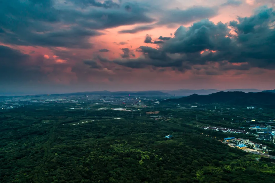
As the Philippines transitions into November, the latest climate and weather signals are presenting local governments with a challenging outlook. They must prepare for potential heavy rainfall in the coming days while also anticipating prolonged dry conditions in the months ahead.
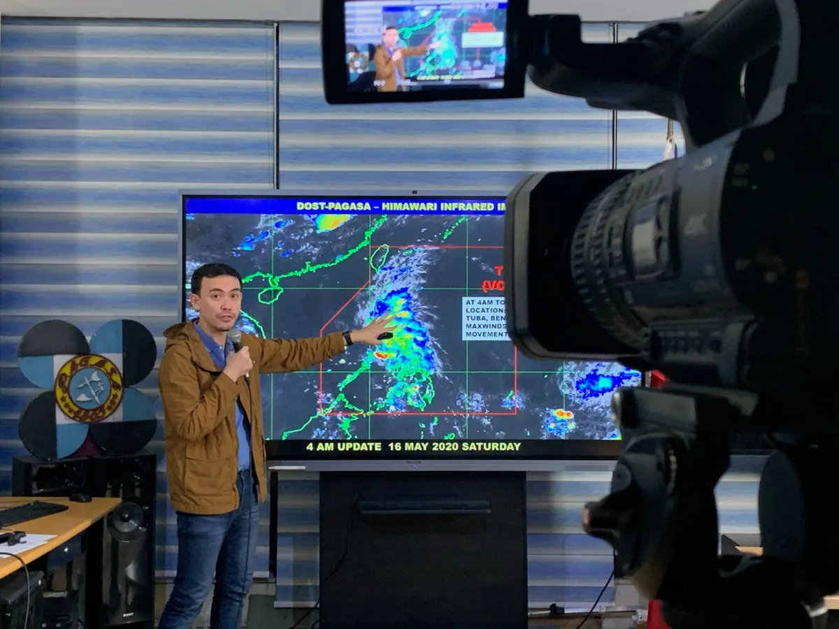
The Philippine Atmospheric, Geophysical and Astronomical Services Administration (PAGASA), in its October 30 weekly weather outlook, identified several weather systems expected to influence different parts of the country through November 6. These include the shear line, the trough of a low-pressure area (LPA), and the Northeast Monsoon, or Amihan. A tropical cyclone may also briefly enter the Philippine Area of Responsibility (PAR) in early November.
Beyond these immediate weather developments, PAGASA continues to monitor a strong to very strong El Niño event in the Tropical Pacific. The agency's October 21 update indicates that the phenomenon is expected to persist until the first quarter of 2027, with associated impacts potentially extending through the first half of the year.
Together, these developments reinforce a critical message for disaster risk reduction: local preparedness must account for both immediate weather threats and longer-term climate conditions.
PAGASA's latest weekly outlook indicates that different weather systems will bring varying rainfall conditions across the archipelago.
From October 31 to November 1, the shear line is expected to bring cloudy skies, scattered rains, and isolated thunderstorms over the Bicol Region, Cagayan, Isabela, Aurora, and Quezon. Meanwhile, the trough of an LPA embedded along the Intertropical Convergence Zone (ITCZ) may bring similar conditions to Western Visayas, the Negros Island Region, Central Visayas, Northern Mindanao, the Zamboanga Peninsula, the Bangsamoro Autonomous Region in Muslim Mindanao (BARMM), and SOCCSKARGEN.
Another surge of Amihan is expected over Northern and Central Luzon from November 2 to 3, bringing light rains to parts of Cagayan, Isabela, and Aurora. During the same period, a tropical cyclone may briefly enter PAR. Although the forecast indicates that it is not expected to directly affect the landmass, its trough may bring scattered rains and thunderstorms over the Bicol Region and Eastern Visayas.
By November 4 to 6, the shear line may continue to influence the Bicol Region and Quezon, while Amihan may bring light rains to parts of Northern Luzon.
These forecasts demonstrate how multiple weather systems can affect different regions within a relatively short period. For local disaster risk reduction and management offices (LDRRMOs), this means maintaining situational awareness, reviewing local risk areas, and ensuring that response arrangements remain adaptable as conditions change.
While short-term forecasts indicate potential rainfall across several regions, the longer-term climate outlook presents a different concern.
PAGASA has confirmed that a strong to very strong El Niño is present in the Tropical Pacific. Climate models suggest that the event will persist into the first quarter of 2027, with its peak expected before the end of 2026. Its effects may continue through the first half of next year.
El Niño is commonly associated with warmer temperatures and below-normal rainfall across much of the Philippines. Its effects can extend beyond weather conditions, placing pressure on agriculture, water resources, energy production, public health, and local economies.
PAGASA's climate outlook for November 2026 has identified areas at risk of drought, dry spells, and dry conditions. According to the agency's projections reported in October, 12 areas may experience drought in November, while several other provinces across Luzon, Visayas, and Mindanao may face prolonged periods of below-normal rainfall.
These conditions carry significant implications for local governments. Water availability may become a concern for households, agricultural communities, and public facilities. Farmers may need to adjust planting schedules and crop selection, while local authorities may need to assess water reserves and prepare conservation measures before shortages become severe.
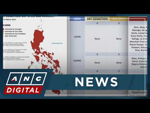
Importantly, El Niño does not mean that rainfall will completely disappear. PAGASA has emphasized that weather systems and tropical cyclones may still bring heavy rainfall to certain areas despite the prevailing dry conditions. This makes preparedness more complex, as communities may face both water shortages and localized flooding within the same broader climate period.
For local government units (LGUs), these developments highlight the importance of moving beyond reactive disaster management toward anticipatory planning. Preparedness begins with understanding how national forecasts translate into localized risks.
A weather system that brings scattered rainfall across a region may have different implications for each municipality, depending on its terrain, drainage systems, population density, infrastructure, and exposure to hazards. Local disaster management teams must therefore consider multiple priorities as weather and climate conditions evolve.
LGUs should regularly assess weather advisories alongside local information, including flood-prone communities, landslide-susceptible slopes, river conditions, drainage capacity, and vulnerable infrastructure. National forecasts provide essential guidance, but localized information helps determine where action is most urgently needed.
The possibility of rainfall-producing weather systems during an El Niño period also highlights the need to maintain readiness for flooding, landslides, and thunderstorms even while preparing for drought. Emergency plans should reflect overlapping and changing risks rather than focus on a single anticipated hazard.
With dry spells and drought expected in several areas, local authorities should assess water supply availability, identify vulnerable communities, coordinate with water service providers, and promote conservation measures. Early planning can help prevent shortages from becoming urgent public service disruptions.
Agriculture remains particularly vulnerable to shifts in rainfall and temperature. LGUs, agricultural offices, and relevant agencies can use climate outlooks to guide planting schedules, irrigation planning, crop selection, and assistance for farmers in potentially affected areas.
Weather and climate risks also require coordinated action among LDRRMOs, agriculture offices, health departments, engineering teams, water districts, social welfare offices, and other government agencies. Shared information and clearly defined responsibilities help ensure that resources and decisions are aligned before a situation escalates.
The availability of climate forecasts and seasonal outlooks provides local governments with an opportunity to make more informed decisions before hazards intensify. However, information alone does not guarantee preparedness. The challenge lies in translating forecasts, advisories, risk assessments, field reports, and resource information into a shared operational picture that decision-makers can act on.
When information is scattered across different offices, agencies, communication channels, and reporting systems, identifying emerging risks and coordinating a timely response can become difficult. Delays in consolidating information may affect resource allocation, community advisories, and the ability to anticipate evolving conditions.
This is where operational intelligence becomes increasingly important to disaster readiness.
An integrated operational intelligence platform such as CrisisOps supports the consolidation of critical information, including incidents, weather-related risks, infrastructure, response assets, and field updates, into a common operating picture. By connecting information across local command structures and response teams, LGUs can strengthen situational awareness, coordinate actions, and support more informed decisions.
The objective is not simply to monitor what is happening, but to help decision-makers understand what the developing situation means for their communities and what actions may be required.
The latest PAGASA outlook serves as a reminder that disaster preparedness cannot depend solely on the arrival of a weather advisory or the onset of an emergency.
The combination of immediate rainfall threats and longer-term El Niño conditions calls for sustained readiness across local government operations. Risk assessments, resource inventories, coordination protocols, water conservation measures, and community preparedness activities must remain active even during periods without significant weather disturbances.
For LGUs, the weeks ahead offer an opportunity to review existing preparedness measures, identify operational gaps, and strengthen coordination before conditions become more challenging.
As climate patterns continue to evolve, the ability to anticipate risks, connect information, and mobilize resources will remain central to effective disaster management.
Preparedness begins before the impact. And when climate signals change, readiness must move with them.
Topics
Share this story
About CrisisOps
CrisisOps is a Physical AI platform for climate resilience, helping governments, communities, critical infrastructure operators and organizations understand changing physical conditions and act with confidence.
Media inquiries: media@crisisops.ai
Related stories
All stories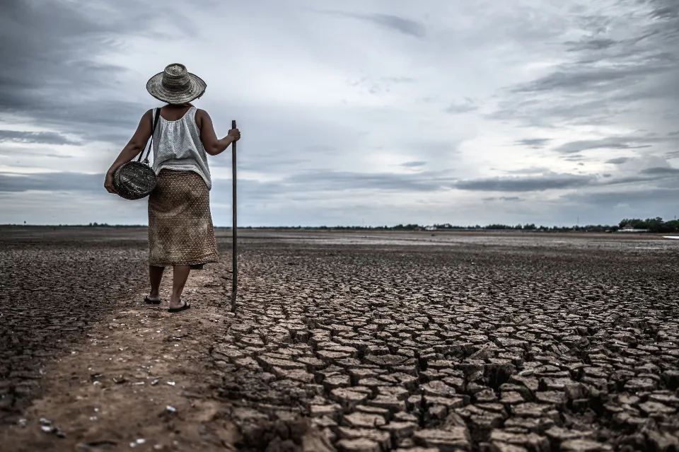
Operational Intelligence
El Niño Risks Rise When Disaster Information Falls Short
Discover how operational intelligence helps connect fragmented data, improve coordination, and strengthen El Niño preparedness.
1 min read
Company News
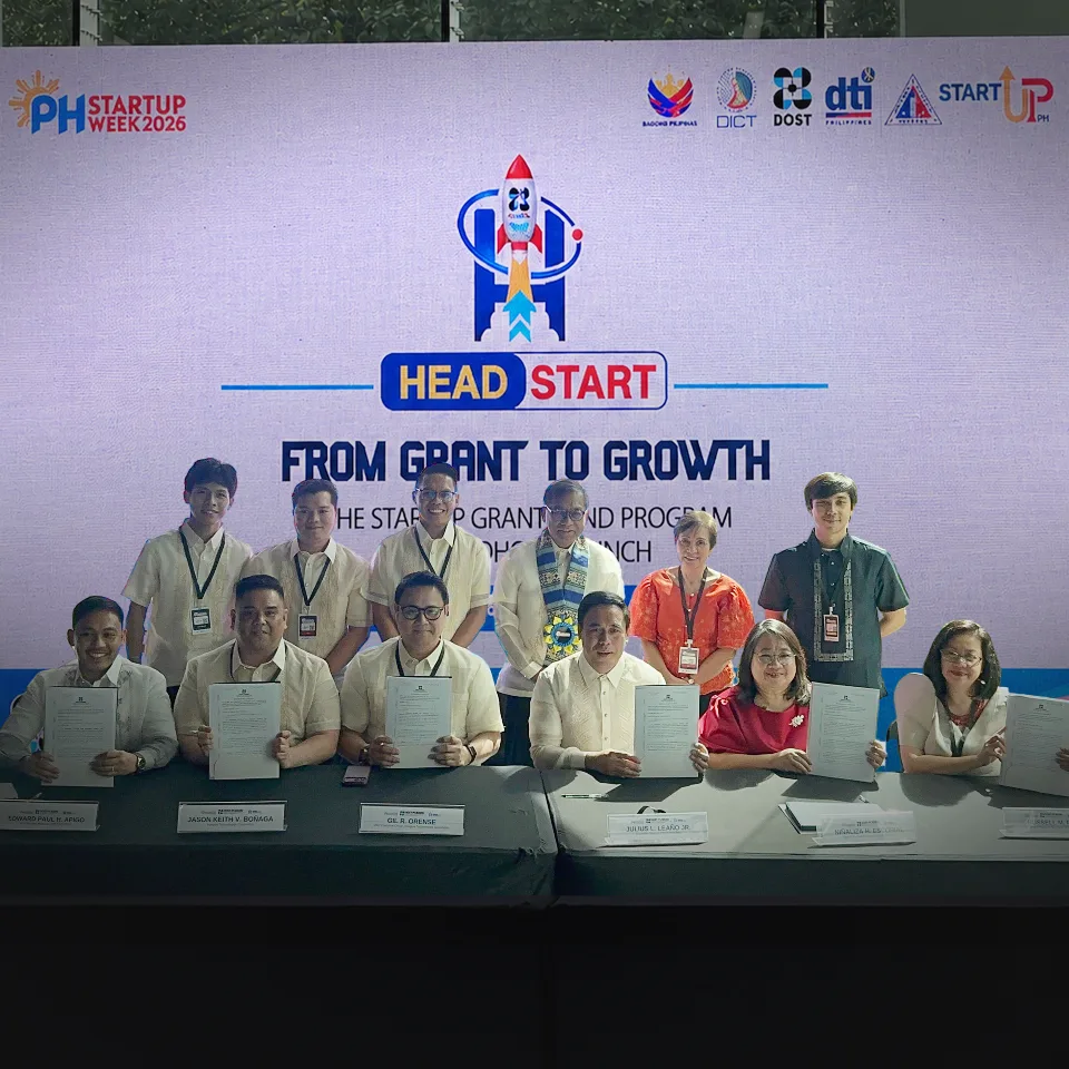
Driving Innovation, Strengthening Resilience: CrisisOps Secures DOST Startup Grant Fund at HEADSTART 2026
CrisisOps secures a grant under the 2026 DOST Startup Grant Fund, formalized at HEADSTART during Philippine Startup Week 2026. The milestone marks a new chapter in the company's efforts to develop and bring innovative, resilience-focused technologies closer to practical application.
3 min read

Research & Insights
From field reports to decisions leaders can act on
During critical incidents, leaders often face severe information overload and constant operational disruptions. This article demonstrates how converting raw, unstructured ground reports into standardized data feed directly into real-time analytics. By doing so, emergency organizations eliminate cognitive friction, establish a Common Operational Picture, and dramatically shrink the window between t
2 min read